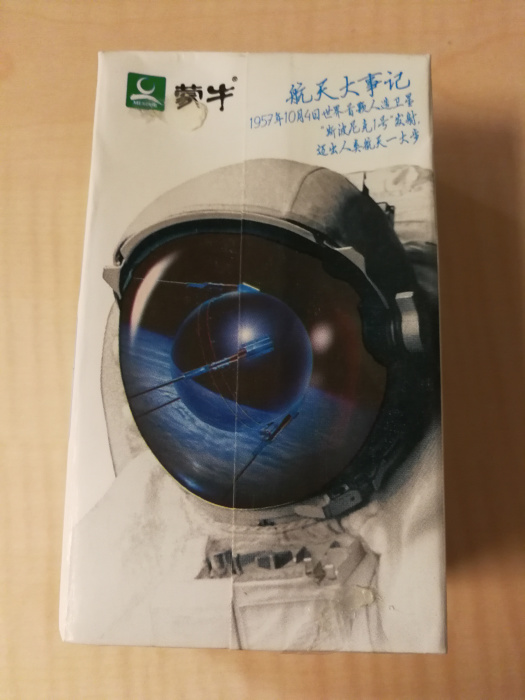
- Раздел: Путешествия
- Дата съёмки: неизвестно
- Дата загрузки фото: 21.09.2017 20:35
- Оригинальная фотография: 2976 x 3968 (2,9 Мб)
- Технические характеристики:
- Фотоаппарат: HUAWEI MHA-L29
- Выдержка: 0,0
- Гиперфокальное расстояние: inf m
- Диафрагма: 2,2
- Светочувствительность: 500
- Фокусное расстояние: 3,0 mm (35 mm equivalent: 27,0 mm)
- Полный EXIF
- Composite
- Aperture: 2,2
- CircleOfConfusion: 0,003 mm
- FOV: 67,0 deg
- FocalLength35efl: 3,0 mm (35 mm equivalent: 27,0 mm)
- GPSAltitude: 66 m Above Sea Level
- GPSDateTime: 2017:09:21 12:37:33Z
- GPSLatitude: 31 deg 41' 1,00" N
- GPSLongitude: 121 deg 51' 33,00" E
- GPSPosition: 31 deg 41' 1,00" N, 121 deg 51' 33,00" E
- HyperfocalDistance: inf m
- Megapixels: 11,8
- ScaleFactor35efl: 9,0
- ShutterSpeed: 0,0
- SubSecCreateDate: 2017:09:21 20:37:33.951993
- SubSecDateTimeOriginal: 2017:09:21 20:37:33.951993
- SubSecModifyDate: 2017:09:21 20:37:33.951993
- ExifIFD
- ApertureValue: 2,0
- BrightnessValue: 0
- ColorSpace: sRGB
- ComponentsConfiguration: Y, Cb, Cr, -
- Contrast: Normal
- CreateDate: 2017:09:21 20:37:33
- CustomRendered: Custom
- DateTimeOriginal: 2017:09:21 20:37:33
- DigitalZoomRatio: 1
- DocumentName:
- ExifImageHeight: 3968
- ExifImageWidth: 2976
- ExifVersion: 0210
- ExposureCompensation: 0
- ExposureMode: Auto
- ExposureProgram: Program AE
- ExposureTime: 0,0
- FNumber: 2,2
- FileSource: Digital Camera
- Flash: No Flash
- FlashpixVersion: 0100
- FocalLength: 3,0 mm
- FocalLengthIn35mmFormat: 27 mm
- GainControl: None
- ISO: 500
- LightSource: Other
- MeteringMode: Multi-segment
- Saturation: Normal
- SceneCaptureType: Standard
- SceneType: Directly photographed
- SensingMethod: One-chip color area
- Sharpness: Normal
- ShutterSpeedValue: 1/536870912
- SubSecTime: 951993
- SubSecTimeDigitized: 951993
- SubSecTimeOriginal: 951993
- SubjectDistanceRange: Unknown
- WhiteBalance: Auto
- GPS
- GPSAltitude: 66,66 m
- GPSAltitudeRef: Above Sea Level
- GPSDateStamp: 2017:09:21
- GPSLatitude: 31 deg 41' 1,00"
- GPSLatitudeRef: North
- GPSLongitude: 121 deg 51' 33,00"
- GPSLongitudeRef: East
- GPSTimeStamp: 12:37:33
- GPSVersionID: 2.2.0.0
- IFD0
- BitsPerSample: 8 8 8
- ImageDescription: cof
- ImageHeight: 3968
- ImageWidth: 2976
- Make: HUAWEI
- Model: MHA-L29
- ModifyDate: 2017:09:21 20:37:33
- Orientation: Unknown (0)
- ResolutionUnit: inches
- Software: MHA-L29C432B190
- XResolution: 72
- YCbCrPositioning: Centered
- YResolution: 72
- IFD1
- Compression: JPEG (old-style)
- ImageHeight: 512
- ImageWidth: 384
- Orientation: Unknown (0)
- ResolutionUnit: inches
- ThumbnailLength: 19171
- ThumbnailOffset: 8814
- XResolution: 72
- YResolution: 72
- InteropIFD
- InteropIndex: R98 - DCF basic file (sRGB)
- InteropVersion: 0100
- System
|
- Просмотров: 923
- Рейтинг: голосов еще нет
- Отзывов: 5
|
